Driving track · Miami
Miami by Car: South Beach, Wynwood and Little Havana
Explore Miami by car or taxi across three linked sides of the city: start on South Beach at Lummus Park in the morning, stroll the Lincoln Road promenade, then drive inland for the murals of Wynwood Walls and the domino tables of Máximo Gómez Park on Calle Ocho. Finish among the bayfront gardens of Vizcaya and the planted terraces of Pérez Art Museum Miami. Every transfer is a drive or taxi ride across the causeway and city streets, not a continuous walk.
- 6 stops
- 19.8 km
- about 4 h 20 min
- by car
The itinerary
Stop by stop.
Start at South Beach in the morning before crowds build, then move inland; Wynwood and Vizcaya hours are separate.
- 01
Start here
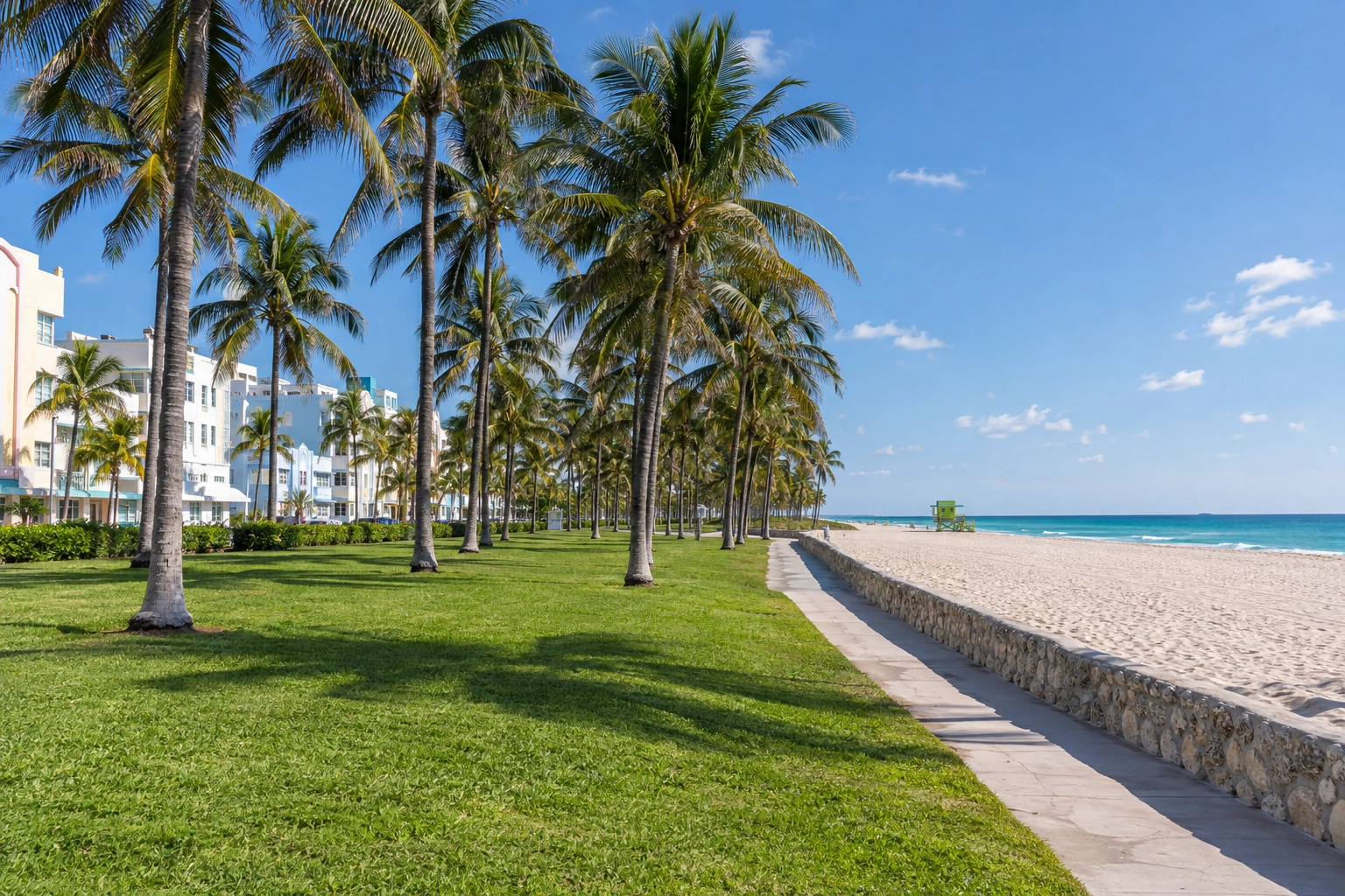
South Beach and Lummus Park
Begin the day on the public lawn at Lummus Park, where Ocean Drive’s open grass meets the beach. Frame the sand and palms from the boardwalk or shoreline and follow lifeguard flags. Hotel terraces and private cabanas are separate; the public shore is all this stop needs.
Plan about 30 min · Visit the South Beach and Lummus Park guide
- 02
+ 1.3 km from the previous stop
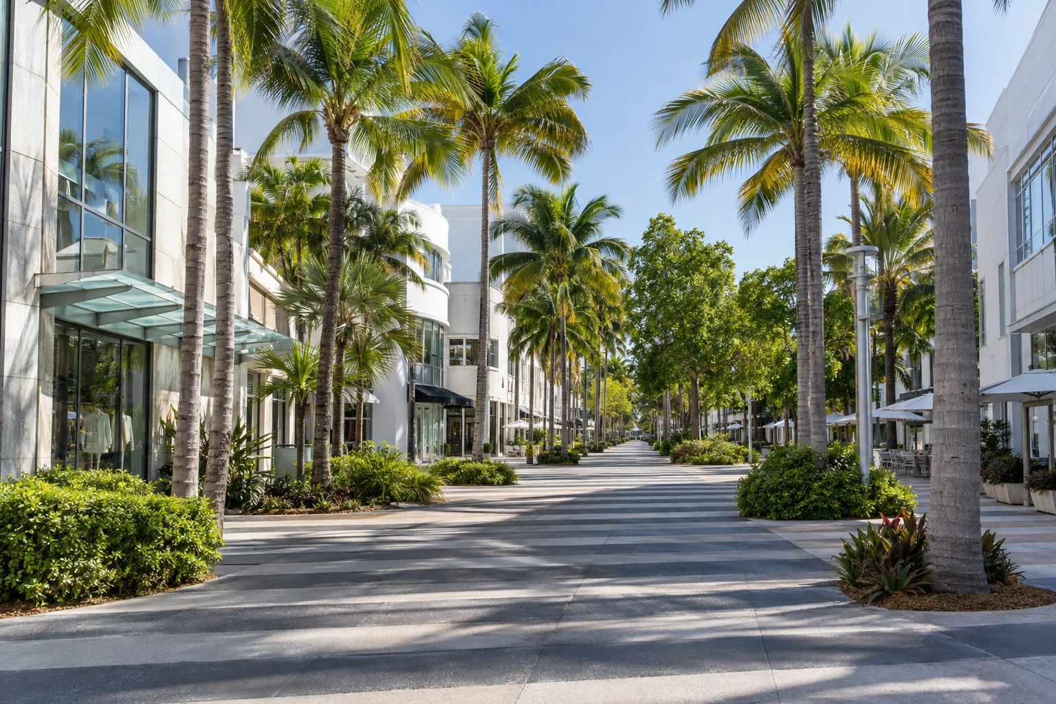
Lincoln Road
Drive or take a taxi a short way up the beach to Lincoln Road. Walk the pedestrian promenade’s shaded block through its storefront rhythm and café terraces, keeping queues and business entrances clear. Shop interiors and terraces follow business rules; the public walkway carries the visit.
Plan about 30 min · Visit the Lincoln Road guide
- 03
+ 6.4 km from the previous stop
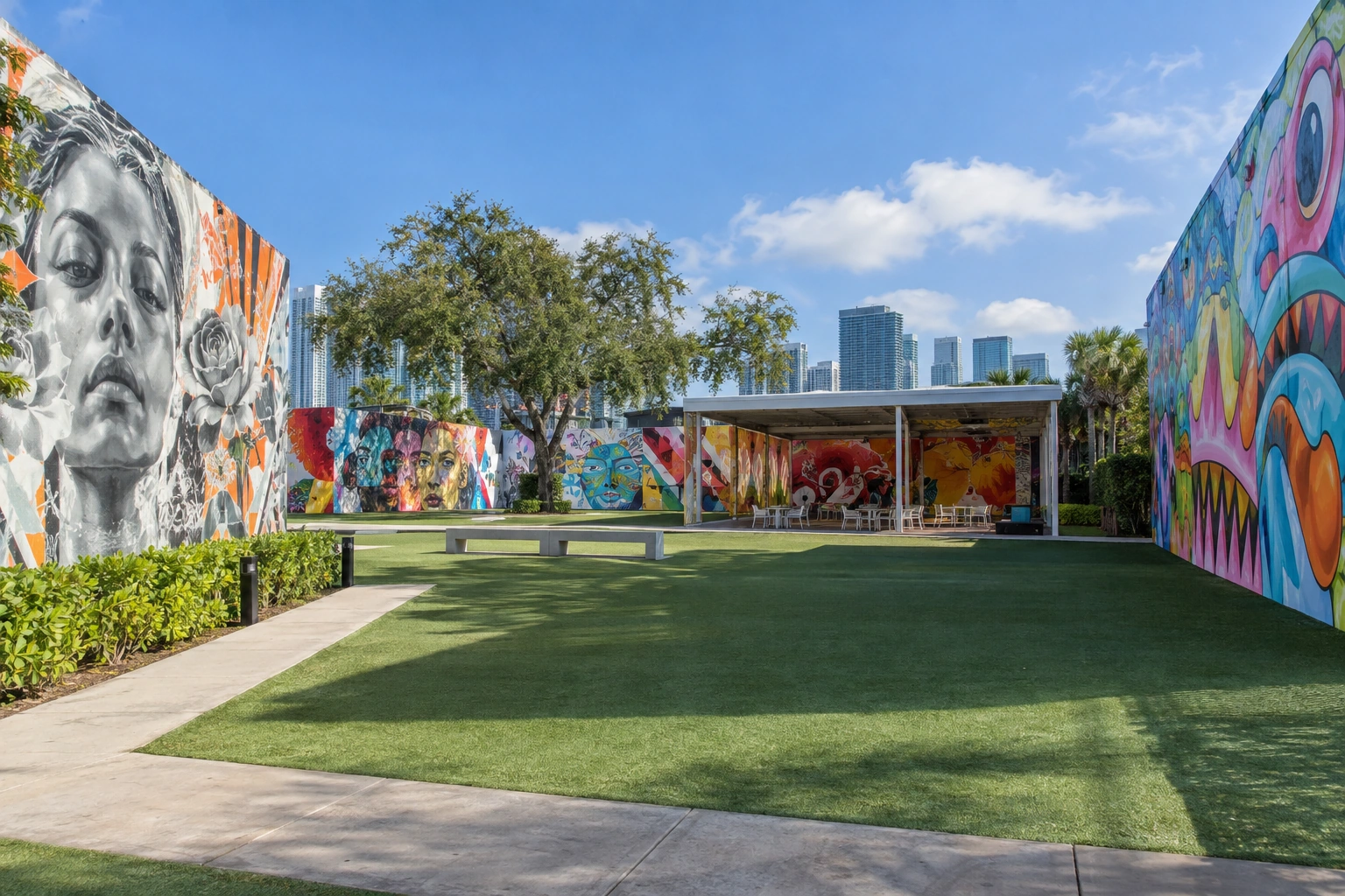
Wynwood Walls
Cross the causeway inland to Wynwood Walls, the fenced courtyard of large commissioned murals. Use permitted visitor positions inside or outside the courtyard and do not block gates or vehicle lanes. Courtyard admission and hours are separate; nearby block murals sit on active streets.
Plan about 45 min · Visit the Wynwood Walls guide
- 04
+ 4.4 km from the previous stop
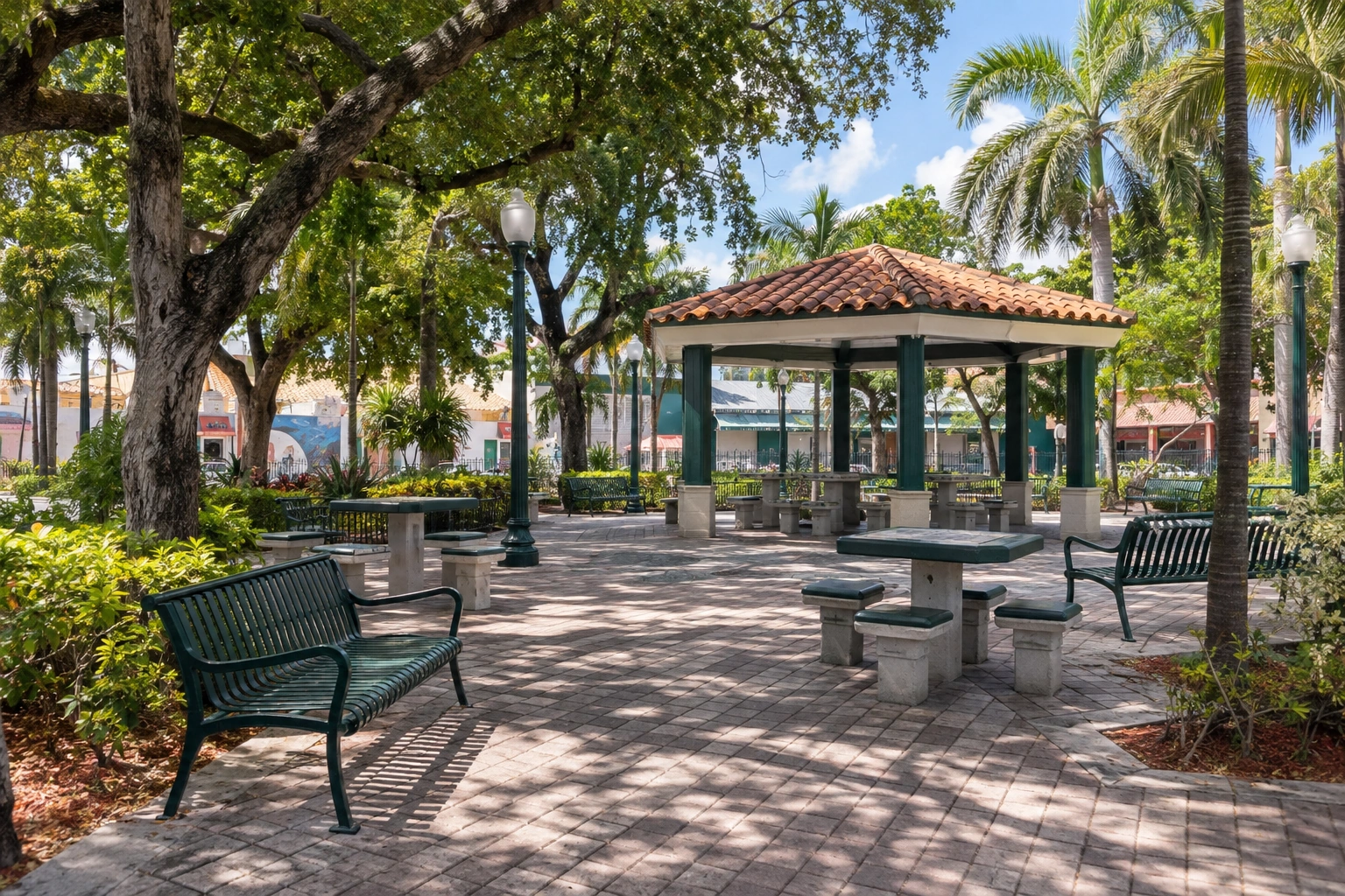
Máximo Gómez Park
Drive south to Calle Ocho and the shaded plaza of Máximo Gómez Park, known as Domino Park. Use public walkways to frame the benches, pavilion and trees without photographing players closely. The park is public and the daily domino tables deserve distance and respect.
Plan about 30 min · Visit the Máximo Gómez Park guide
- 05
+ 2.4 km from the previous stop
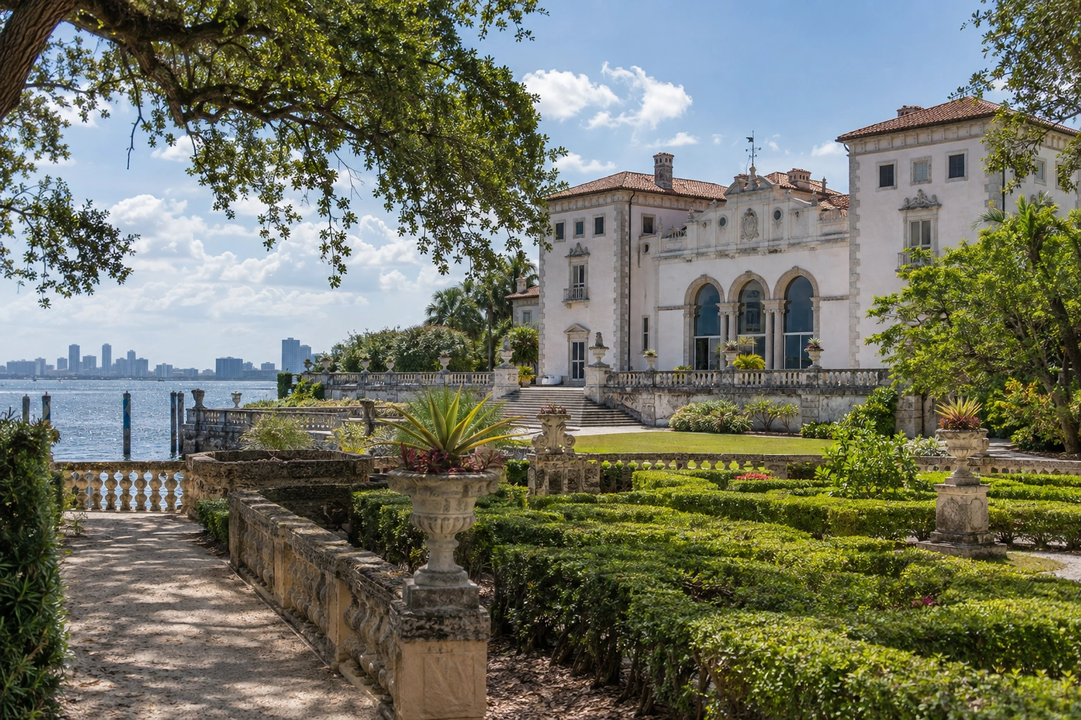
Vizcaya Museum and Gardens
Continue south to Coconut Grove for the bayfront estate of Vizcaya Museum and Gardens. Use the public garden paths to frame the villa facade and formal stonework without entering closed areas. Museum admission, garden hours and event closures are separate; some interiors restrict photography.
Plan about 45 min · Visit the Vizcaya Museum and Gardens guide
- 06
+ 5.2 km from the previous stop
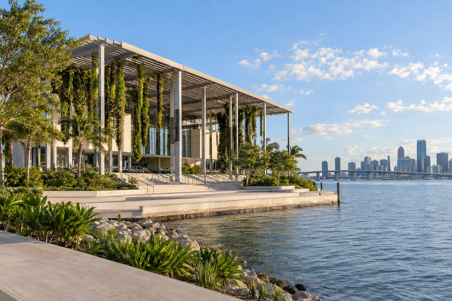
Pérez Art Museum Miami
Finish on the downtown waterfront at Pérez Art Museum Miami in Museum Park. Use the public park paths and permitted terrace approaches to frame the planted pergolas against Biscayne Bay. Museum admission is separate; the surrounding park paths stay open to everyone.
Plan about 30 min · Visit the Pérez Art Museum Miami guide
Place-earned, not photo-matched
Collect every badge on this track.
Unlocked verifies that you are really at each Landmark. Choose Unlock while you are there, and the badge is yours — the photo Memory can wait until you are home.
- 01
Go to the Landmark.
Follow the track above; every stop is a supported place in Miami.
- 02
Choose Unlock.
A current location sample verifies you are inside the Landmark's supported area.
- 03
Finish the track.
Each verified visit earns the Landmark's badge permanently in your Passport.
Before you go
Track questions.
Can I follow this route as a continuous walk?
No. This itinerary is designed around a drive or taxi ride between every stop, crossing the causeway between Miami Beach and the mainland and continuing through Wynwood, Little Havana, Coconut Grove and downtown. Use public paths and walkways once you arrive at each Landmark.
Which stops need tickets or admission?
The Wynwood Walls courtyard and Vizcaya Museum and Gardens have their own admission, hours and closures, and Pérez Art Museum Miami has separate museum admission. The Lummus Park shoreline, Lincoln Road promenade, Domino Park plaza and Museum Park paths are public spaces.
How do I confirm an Unlock at each Landmark?
Check the Landmark map and confirm your Unlock while nearby at each stop. A distant view does not establish arrival, and venue admission, transport and visitor routes remain separate from your Unlock at every stop on this route.